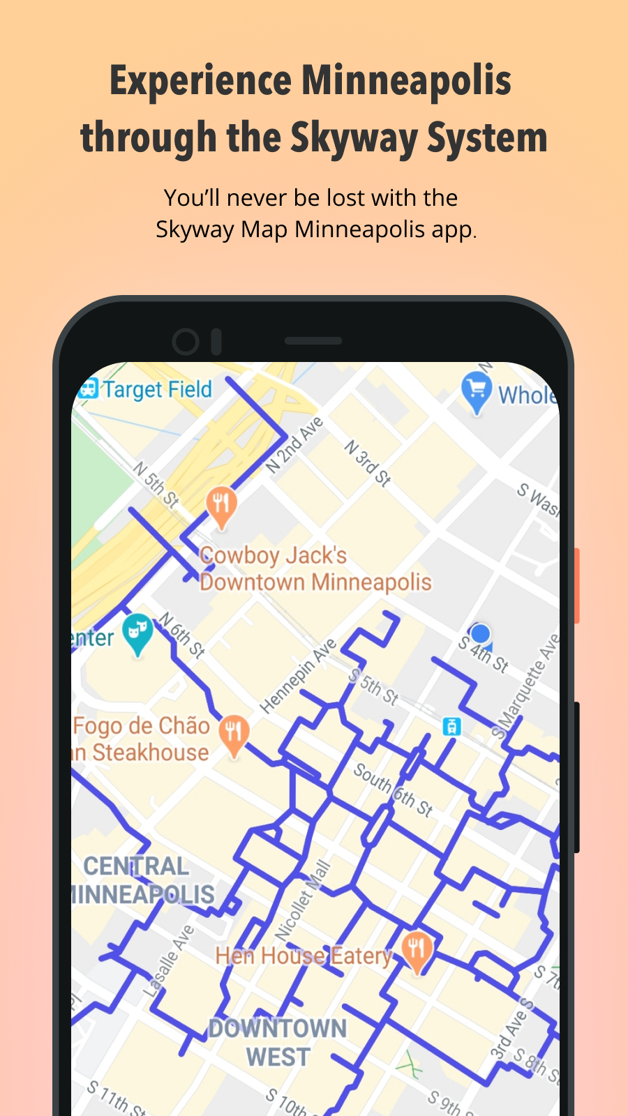
Lost in the skyway? Use this map to see your location and your destination.
advertisement
| İsim | Skyway Map Minneapolis |
|---|---|
| Sürüm | 1.3 |
| Güncelleme | 04 Eki 2023 |
| Boyut | 4 MB |
| Kategori | Haritalar ve Navigasyon |
| Yükleme sayısı | 5B+ |
| Geliştirici | Adriapolis |
| Android OS | Android 6.0+ |
| Google Play ID | com.adriapolis.skywaymappgoogle |
Skyway Map Minneapolis · Ekran Görüntüleri
Skyway Map Minneapolis · Açıklama
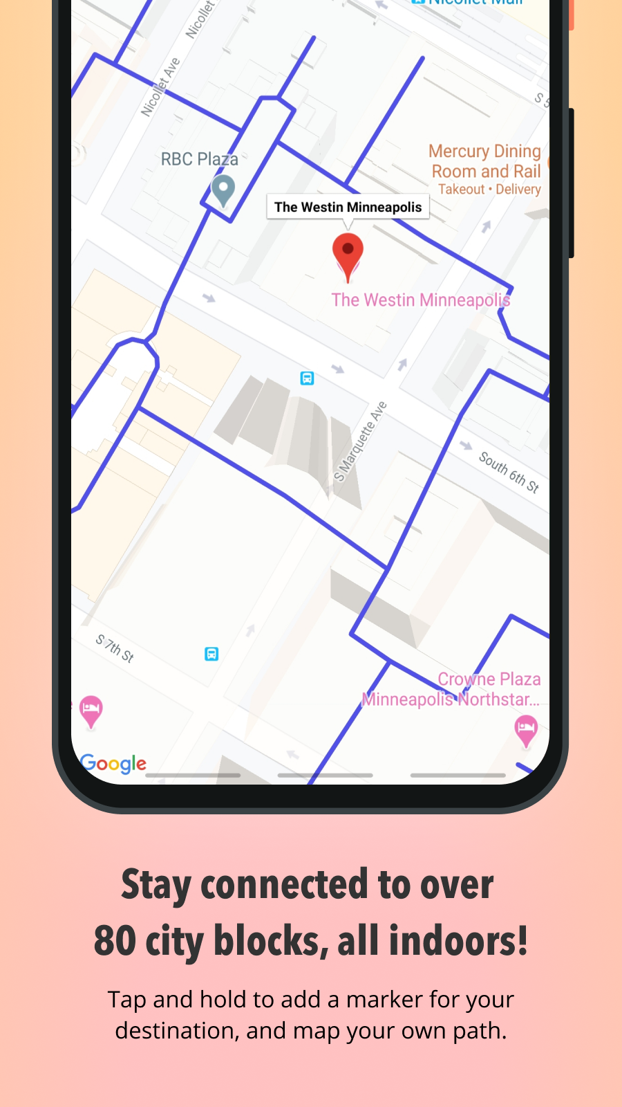
Tap and hold on map to add a marker.
Search and skyway hours coming soon!
The skyway system offers climate-controlled pedestrian bridges connecting various buildings in downtown Minneapolis. It covers 80 full city blocks over 11 miles. Pedestrians can access the city's entertainment venues, restaurants, hotels, retail stores, banks, apartments, corporate and government offices, and more. Look for access points to and from the street level.
Send feedback to hello@adriana.dev!